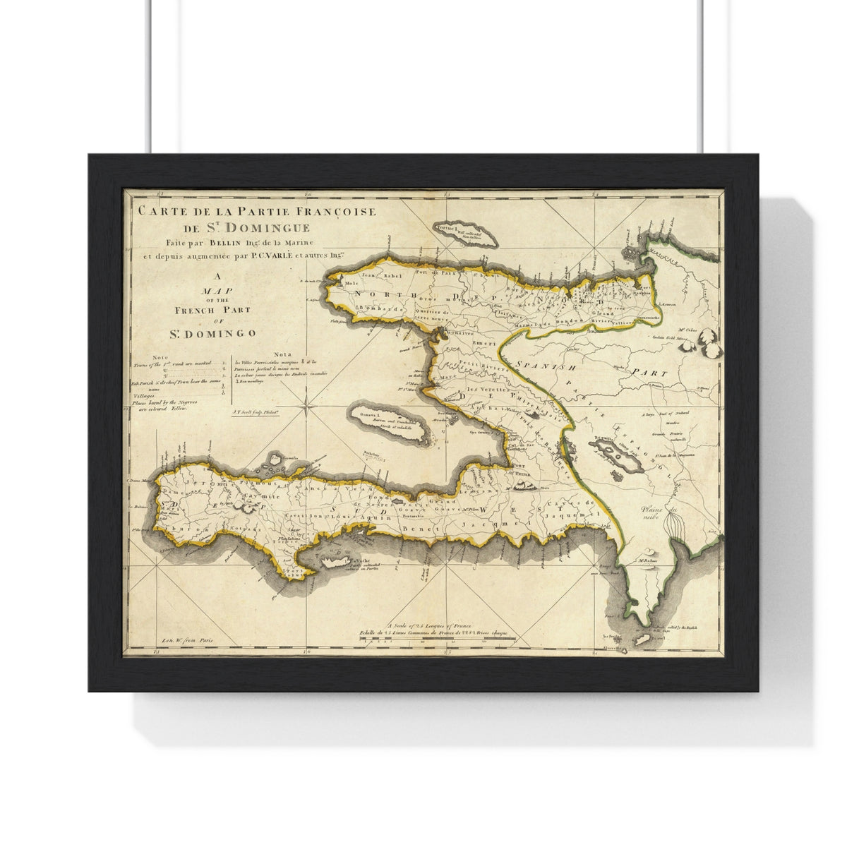
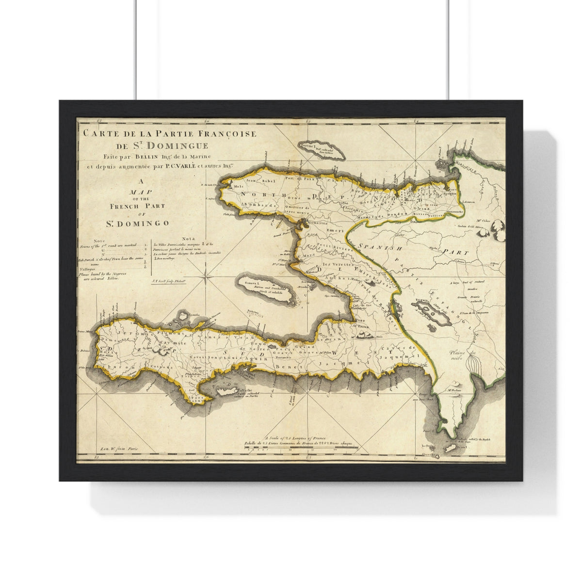
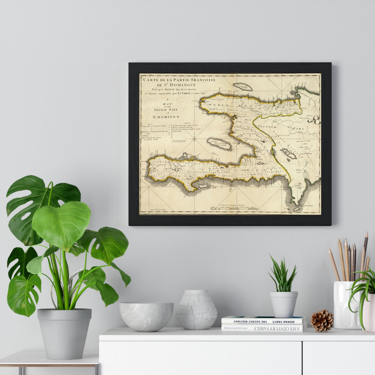
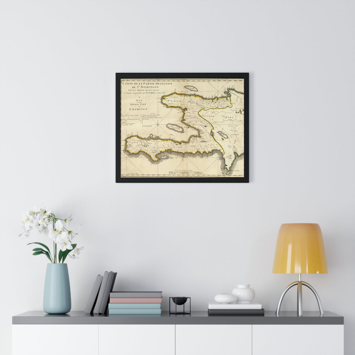
A reproduction of Carte de la Partie Françoise de St. Domingue, depicting the French colonial territory of Saint-Domingue on the island of Hispaniola before Haitian independence.
Original French place names, fine cartographic lines, and hand-colored boundaries are preserved against aged-paper tones. More than a decorative map, it offers a view of the geography through which an important chapter of Haitian history unfolded.
Details
Landscape framed print
14 × 11 inches or 20 × 16 inches
Black wooden frame
Matte archival-grade paper and pigment inks
Protective plexiglass front
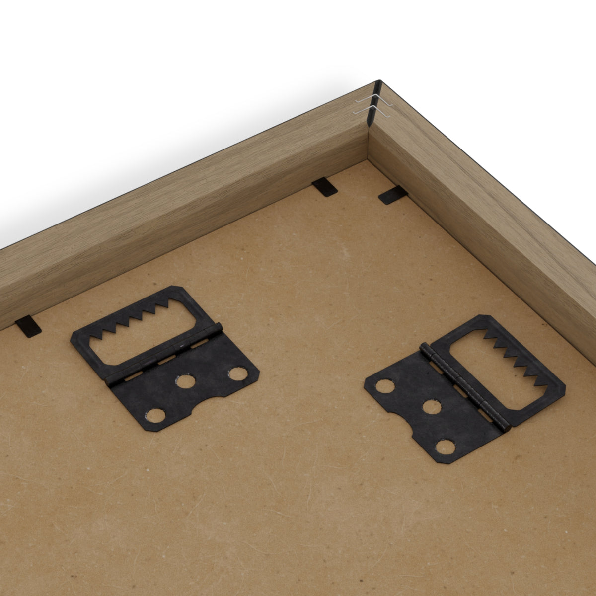
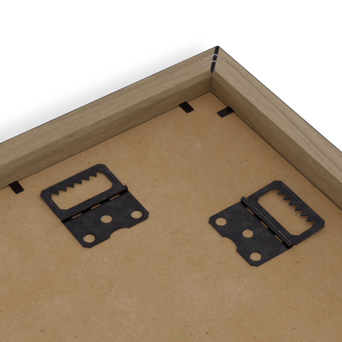
Pre-installed hanging hardware
For indoor display; made to order
Care: Dust with a soft, dry cloth. Apply suitable plexiglass cleaner to a cloth, never directly onto the frame.
La Galerie — Sanité. The map depicts colonial Saint-Domingue, not the modern Republic of Haiti. Cartographer and edition details will be added following archival verification.